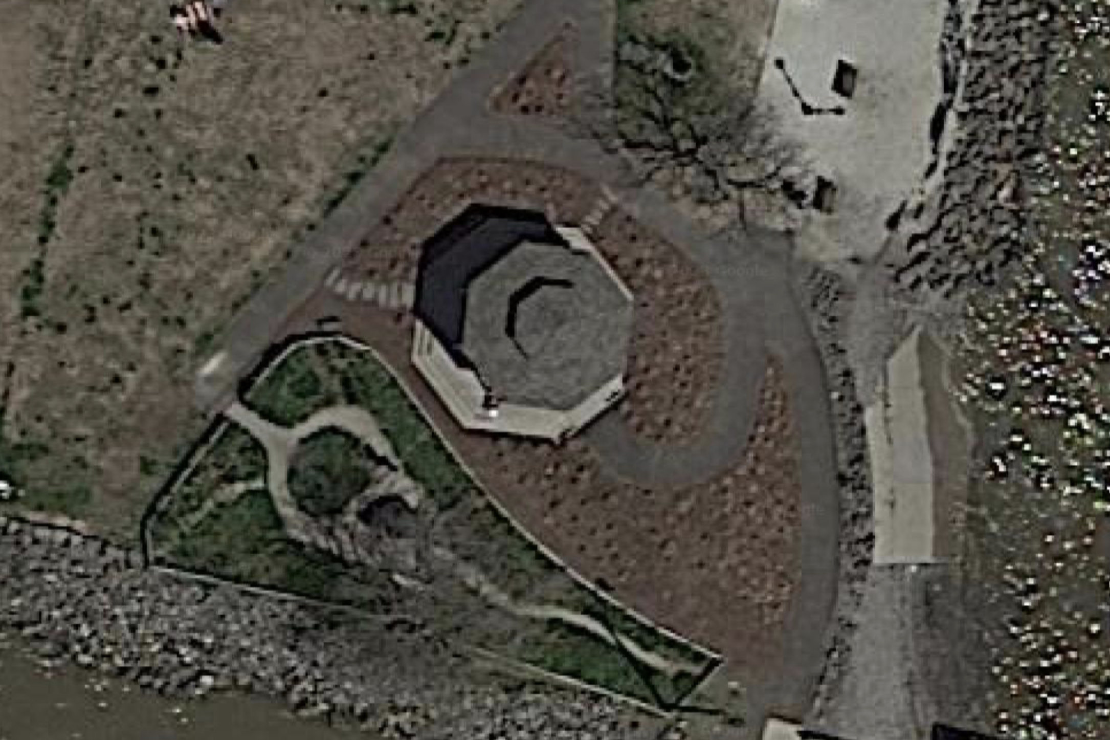
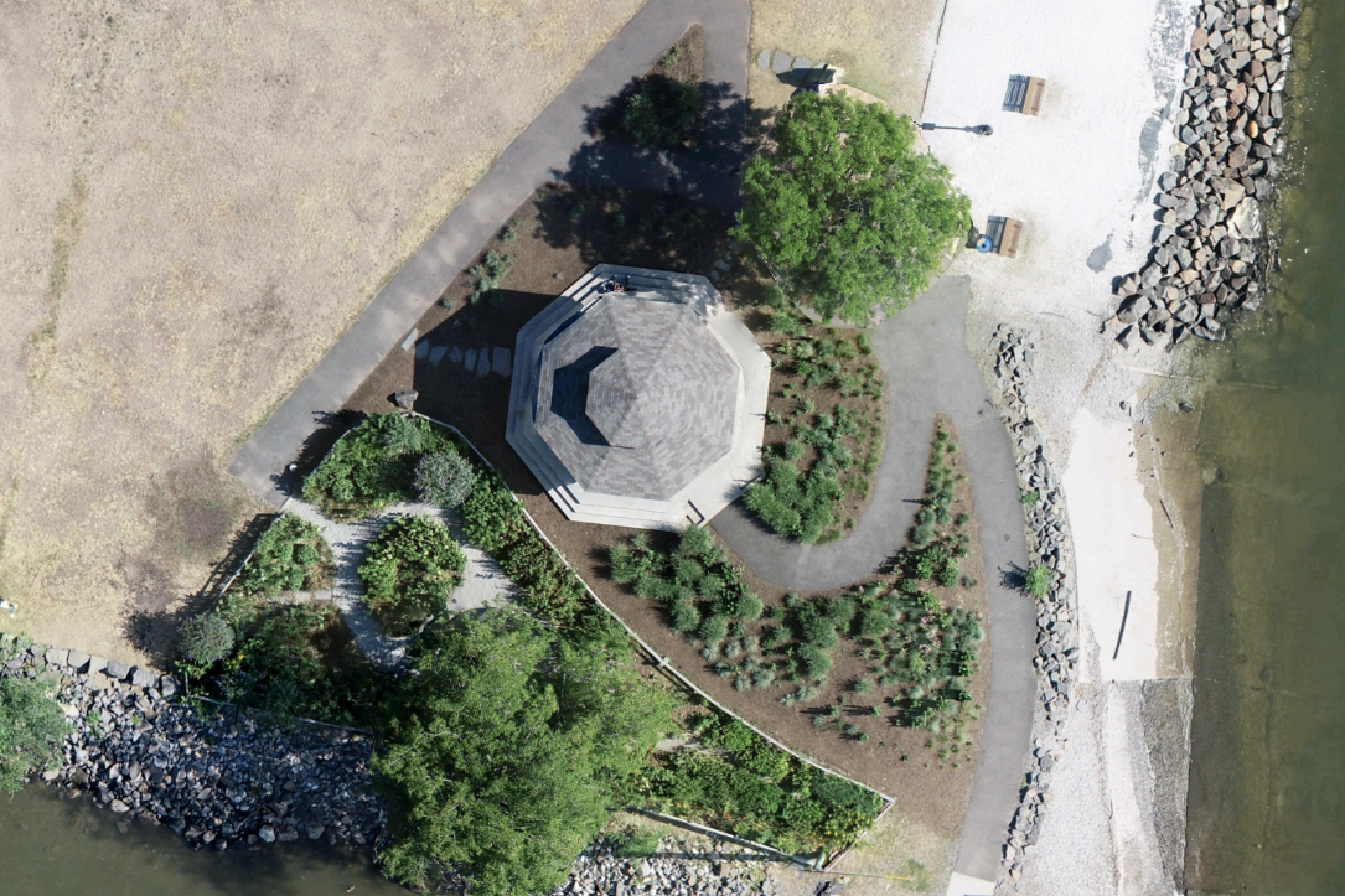
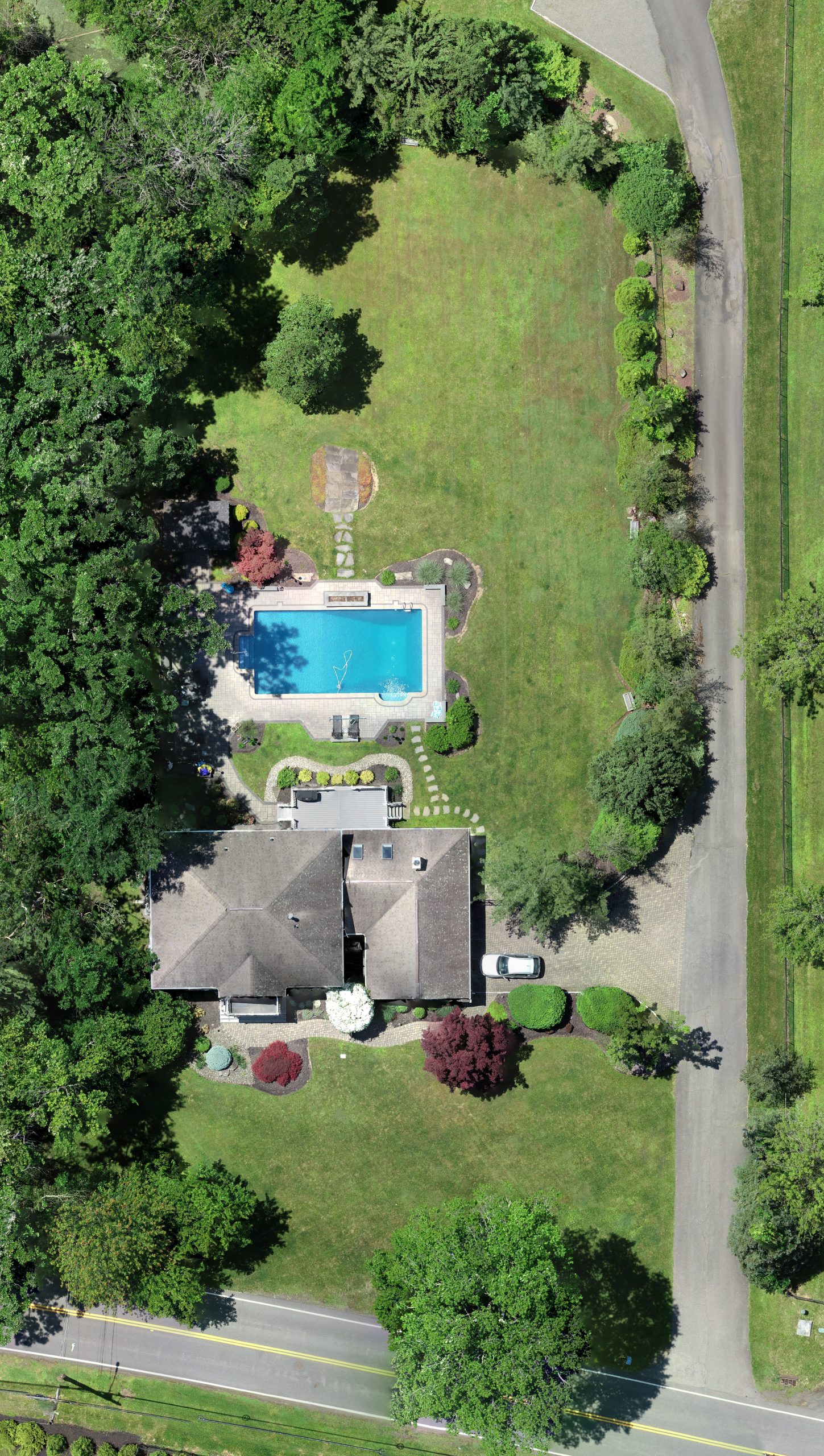
Orthomosaic imagery is one of most valuable and useful deliverables provided by drone service providers. Generated by correcting and merging multiple aerial photographs, these images create a comprehensive and accurate representation of a large land areas. While visually similar to standard aerial photographs, orthomosaic imagery provides an extra layer of accuracy that makes it a versatile tool in a variety of industries, from construction to environmental monitoring and beyond.
The creation process employs a technique known as orthorectification. This step involves correcting the perspective of each individual photo to account for the tilt of the camera and the terrain relief. The result is that each photo is transformed to have a uniform scale, as though every point in the image were captured from directly overhead.
Benefits of Orthomosaic Over Satellite Imagery
There are several advantages of orthomosaic images over satellite images, including:
Higher resolution: Drone orthomosaics can capture much higher resolution images than satellite images, resulting in more detailed and accurate maps and models.
Greater flexibility: Drones can fly at lower altitudes and capture images from different angles, allowing for more flexibility in image capture and a wider range of applications.
Timeliness: Drone orthomosaic images can be captured on demand, allowing for more timely and up-to-date information than satellite images, which are typically captured on a set schedule.
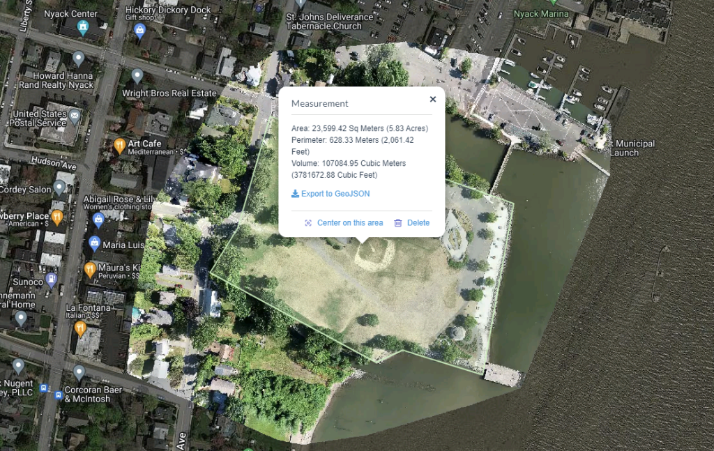
More precise measurements: Due to the higher resolution and flexibility of drone orthomosaic images, measurements of distance, area, and volume can be more precise than with satellite images.
Less affected by weather: Drone orthomosaic images are less affected by cloud cover, haze, and other weather conditions that can interfere with satellite image capture.
Drone vs Satellite Comparison
Orthomosaic images are ideal for providing high resolution images of larger properties and projects, and flights are easily repeatable to show progress over time. Finally, orthomosaic images can be used to obtain measurements like area, perimeter, and volume with ease and accuracy.
Overall, drone orthomosaic images offer a more flexible, precise, and timely solution for many applications compared to satellite images.
Relative vs Absolute Accuracy
Relative accuracy: Relative accuracy offers a cost effective solution when centimeter level positional accuracy is not required. It is achieved by comparing like features in multiple images to build an orthomosaic image or 3D model. Because photos are tagged with location data from the drone’s internal GPS, these deliverables still offer close correlation to real-world locations.
Absolute accuracy: Absolute accuracy makes it possible to precisely align an orthomosaic image or 3D model to real-world coordinates with up to centimeter level precision. This is achieved by one of the following methods:
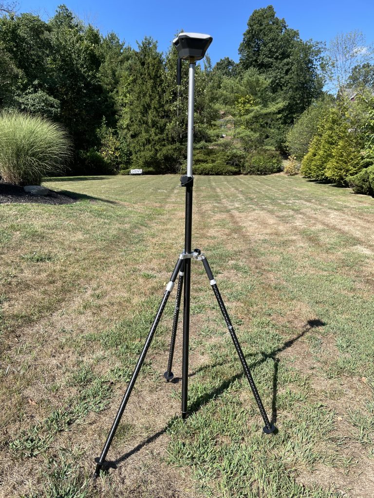
- Ground Control Points (GCPs) placed using a pair of GNSS receivers (base and rover)
- PPK-equipped drone (requiring fewer GCPs therefore more suitable for larger areas)
- RTK-equipped drone and GNSS base
Each method has pros and cons and we’re happy to discuss your requirement to determine which is most appropriate.
Disclaimer
The orthomosaic images we provide are intended for visualization purposes only. They are NOT intended for and MUST NOT be used for the following activities unless certified or approved by a licensed surveyor:
- Establishing precise legal property boundaries.
- Establishing or verifying land ownership and titles.
- Settling land disputes or litigation purposes.
- Determining precise locations for construction or engineering projects.
- Providing official documentation to governmental bodies for permits or other requirements.
- Any other activities that legally require the certification of a licensed surveyor.
While efforts have been made to ensure the accuracy and quality of these images, they should not be relied upon for tasks requiring precise measurement or analysis. The provision of these images does not constitute the practice of surveying and does not replace the need for a professional, licensed surveyor for any activity requiring precise measurements or interpretations related to land characteristics, boundaries, or titles.
By using these orthomosaic images, the user acknowledges this disclaimer and agrees to use the images responsibly and in accordance with the limitations set forth herein. Users also agree to hold harmless the provider of these images from any claims, damages, or actions that arise from improper or illegal use of these images.
In the case of any doubt regarding the appropriate use of these images, it is recommended to consult with a licensed professional surveyor.